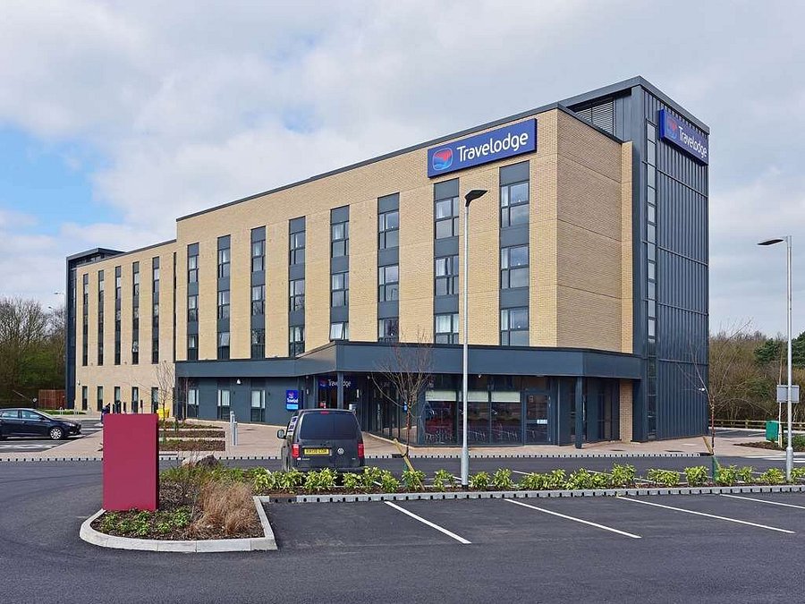
Emersons Green is a suburban neighbourhood and civil parish in South Gloucestershire, England. It is part of the Bristol Built-up Area, 7 miles (11 km) northeast of Bristol city centre. The neighbourhood was developed in the 1990s and early 21st century on farmland formerly in the parish of Mangotsfield.
Coal was mined in the area in the 19th century. To the south there is a quarry, which has been reactivated.
A science and technology park, in conjunction with Bristol University and University of the West of England, has been built on an area of land adjacent to the M4 motorway and the A4174 Ring Road.
Governance
Emersons Green was until 1927 a hamlet in the civil parish of Mangotsfield. From 1927 to 2015, it was in the civil parish of Mangotsfield Rural. The parish was renamed Emersons Green in 2015 and enlarged by the addition of areas of the civil parishes of Pucklechurch and Westerleigh, taking in the housing development at Lyde Green and the Science Park. The parish council elected to be known as Emersons Green Town Council.
The parish has four wards: Badminton, Blackhorse, Pomphrey (3 Councillors each) and Emersons Green itself (7 councillors).
Lyde Green
Lyde Green is a new development within South Gloucestershire that was originally farmland. Its transformation into housing began in the mid 2010s. It is built to the east of Emersons Green.
References
External links
- Emersons Green Town Council

![]()